Aerial Solutions
UNIQUE IMAGES
Aerial Photography
Capture high-resolution aerial photos that go beyond visuals, delivering clarity and real-world insight. Our FAA-certified pilots reveal true site layout, boundaries, and surrounding conditions to support real estate listings, development planning, and compliance workflows. Ideal for showcasing properties, monitoring progress, and enabling informed decisions.
new perspectives
Video
Bring your projects to life with cinematic aerial videos that capture progress, precision, and scale. Our 4K drone footage highlights logistics, milestones, and safety practices without interrupting operations. From real estate marketing to large-scale infrastructure, we deliver visual storytelling that engages clients and stakeholders.
integrated approach
Inspections
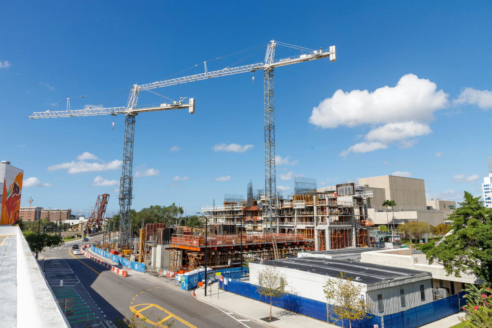
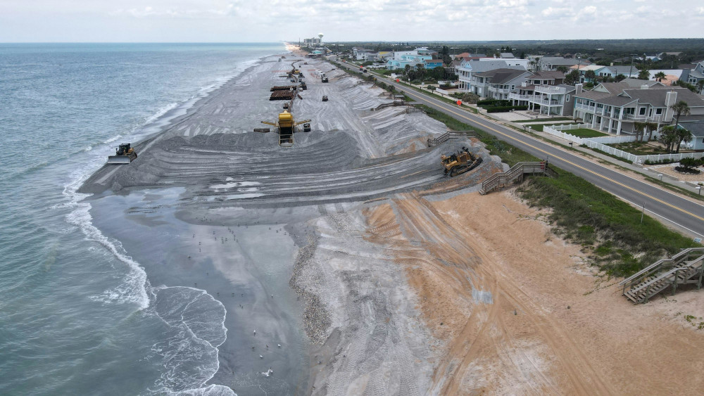
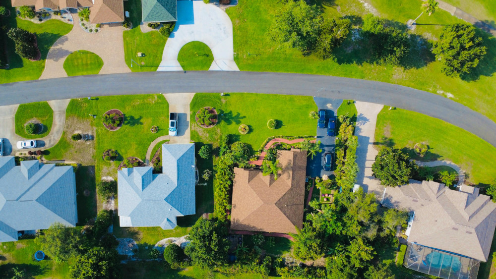
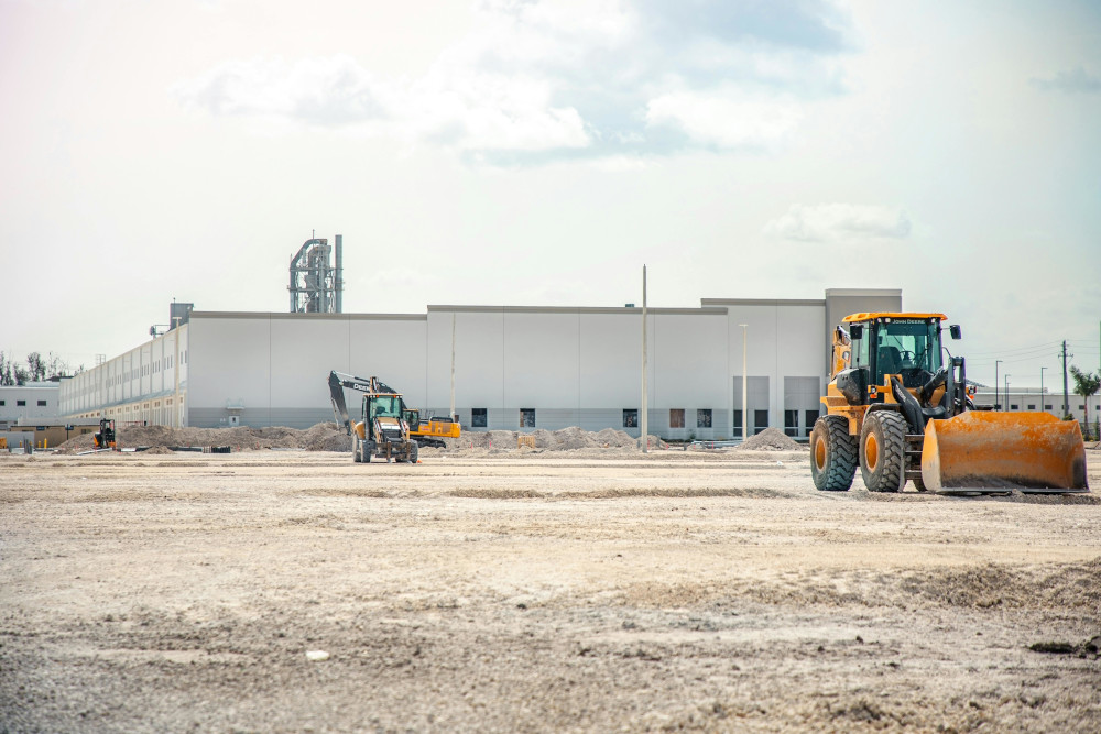
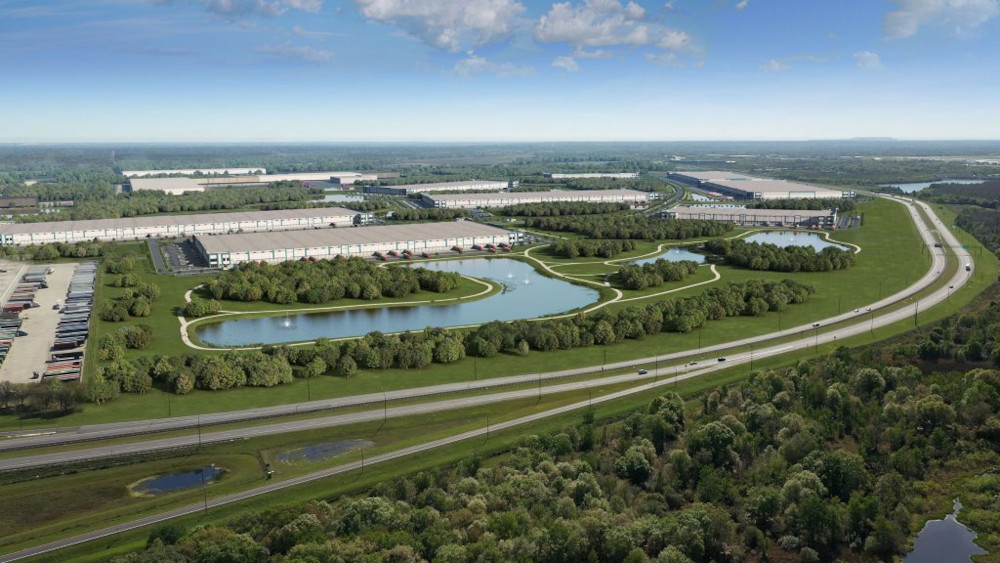
Conduct precise aerial inspections for environmental compliance, site safety, roofing, and infrastructure monitoring. We deliver measurable visuals that help identify risks, document conditions, and support regulatory documentation, enabling teams to make faster, safer, and more informed decisions across high-liability environments.
New solutions
Mapping
Generate accurate aerial maps and 3D models for land development, construction planning, and compliance reporting. Our mapping data supports surface models, volumetric analysis, and site segmentation, giving teams the clarity needed to reduce risk, improve efficiency, and manage operations with confidence.
Precision Aerial Imaging & Data Capture
Get premium-quality aerial photos, 4K video, mapping, and data captured safely, efficiently, and with purpose. Each year, more than 300 workers lose their lives and over 164,000 are injured during high-liability construction and inspection activities. Our drone safety inspections eliminate these risks by capturing detailed, high-resolution imagery from above, ideal for roof assessments, environmental compliance mapping, and progress monitoring. From construction sites to land development, real estate showcase, environmental projects, we deliver precise, insight-driven data that helps teams make smarter decisions, reduce liability, and improve operational efficiency.
Getting Started
How It Works
Tell Us About
Your Project
Describe your project, whether it’s aerial photography, mapping, or environmental documentation.
We’ll Schedule
a Flight
We plan and execute your mission safely and efficiently, ensuring optimal lighting, weather, and coverage.
Download Your
Deliverables
Receive your high-resolution images, 4K videos, or mapped data through a secure download link, ready for reports, marketing, or compliance use.


